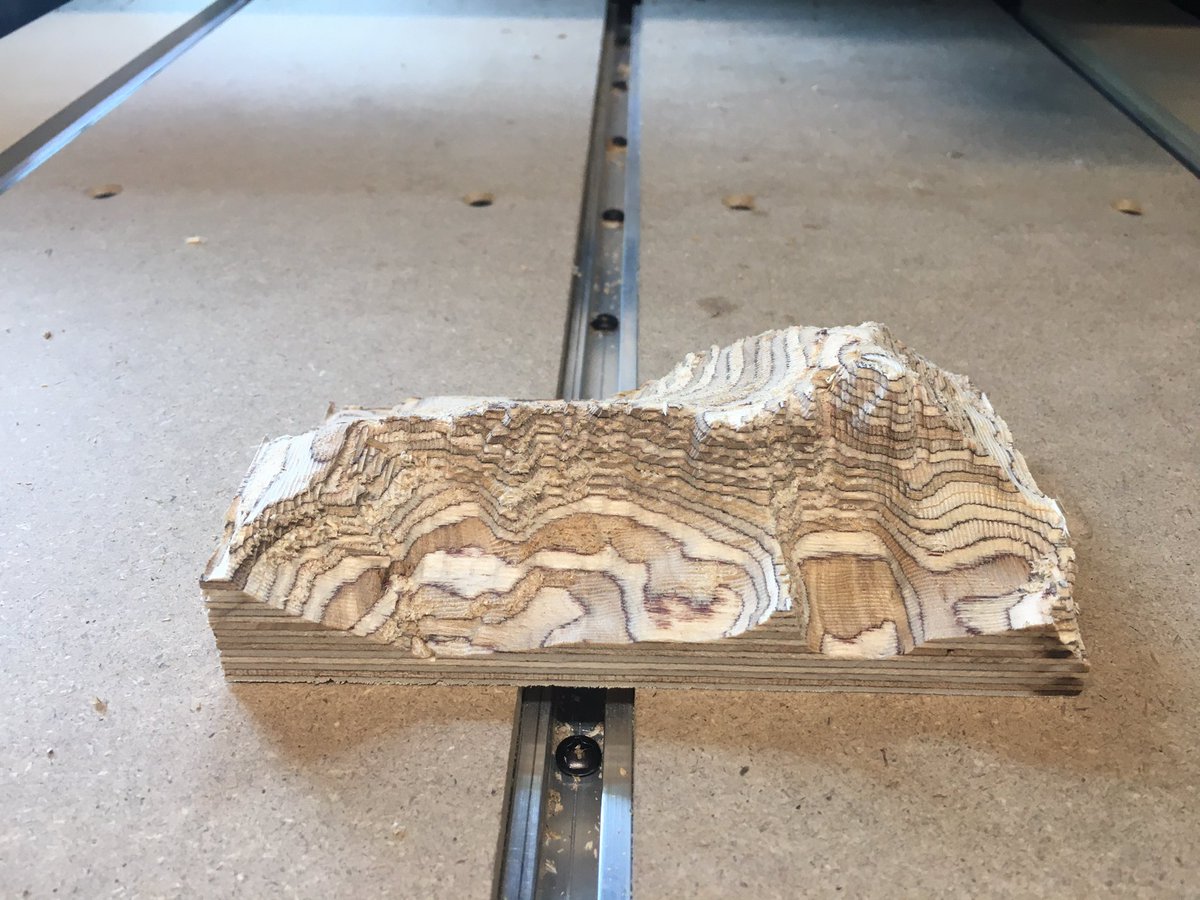
Mt Whitney CNC
Greg Whitehead @grwster • 20200518045331000
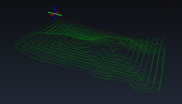
Playing around with generating some gcode myself, programatically. This is the tool path for a low resolution version of my Mt Whitney model
Greg Whitehead @grwster • 20200518045331000
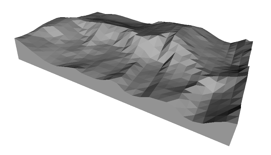
Here's the corresponding low resolution mesh (the gcode isn't generated from this mesh, they're both generated directly from the USGS data)
Greg Whitehead @grwster • 20200518045331000
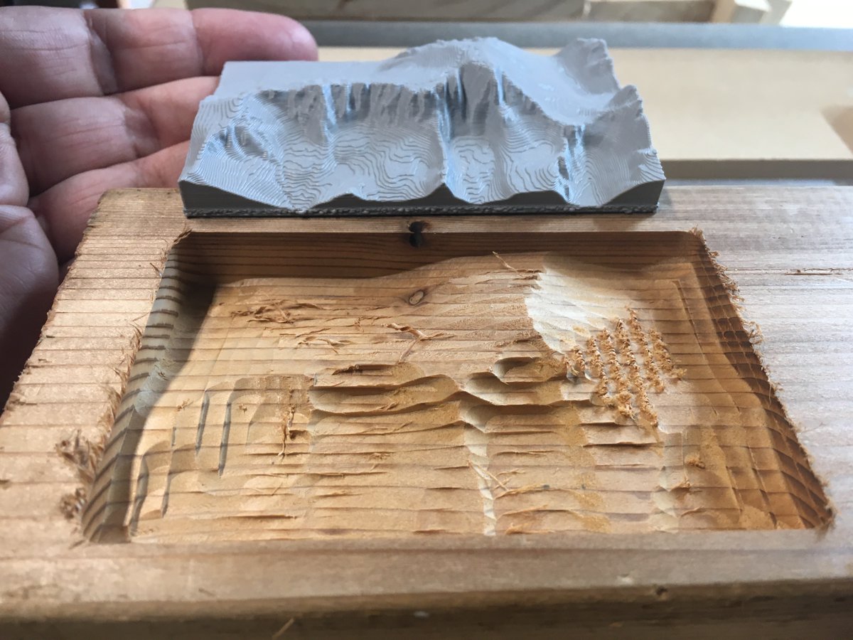
And here's the result, rough cut in some scrap wood, with a high resolution 3d print of the same data for comparison. Next step is to increase the resolution!
Greg Whitehead @grwster • 20200523001508000
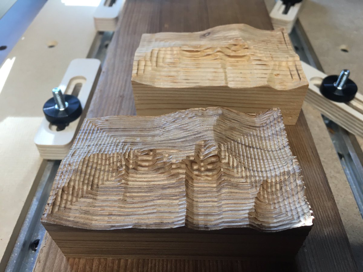
Double the resolution. I’m sure Red Cedar is nobody’s idea of a good material to be milling, but it sure does smell good.
Greg Whitehead @grwster • 20200525003630000
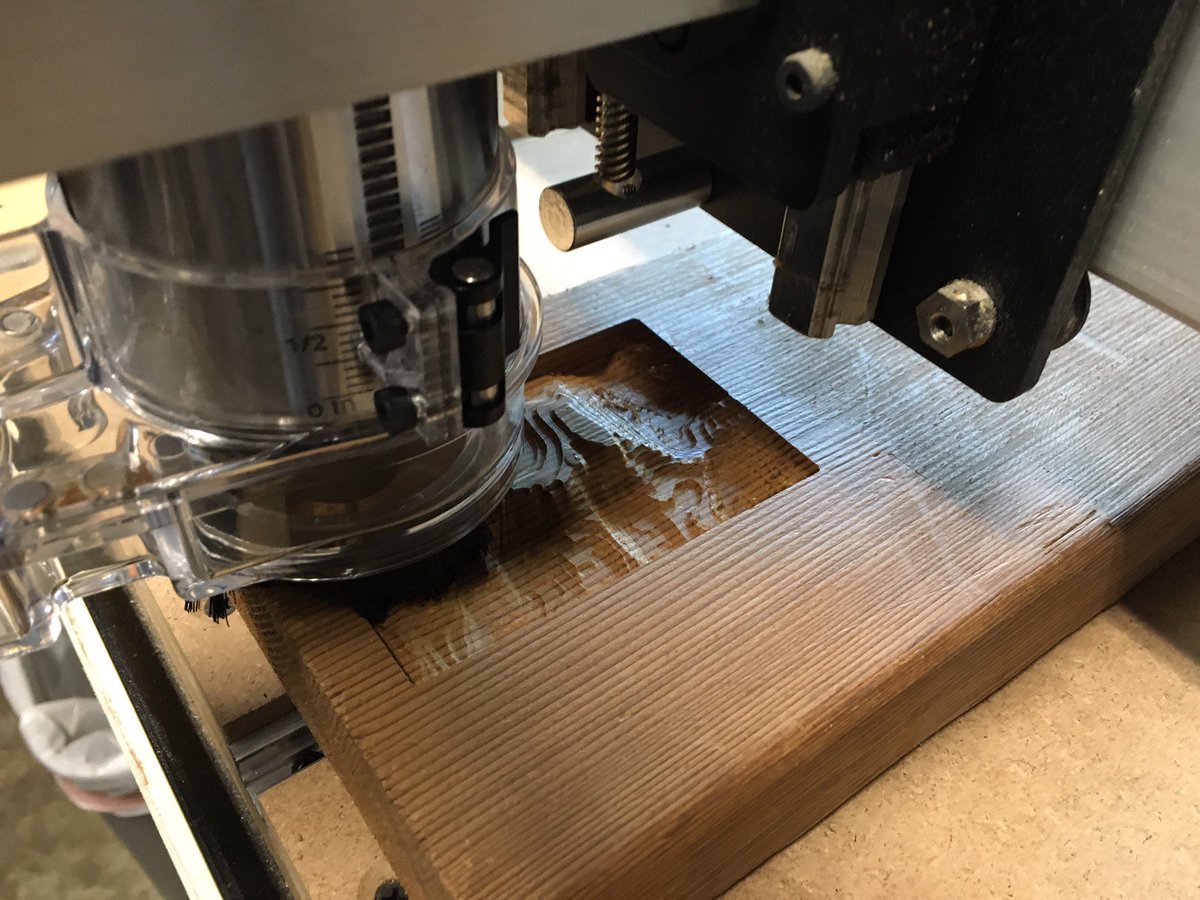
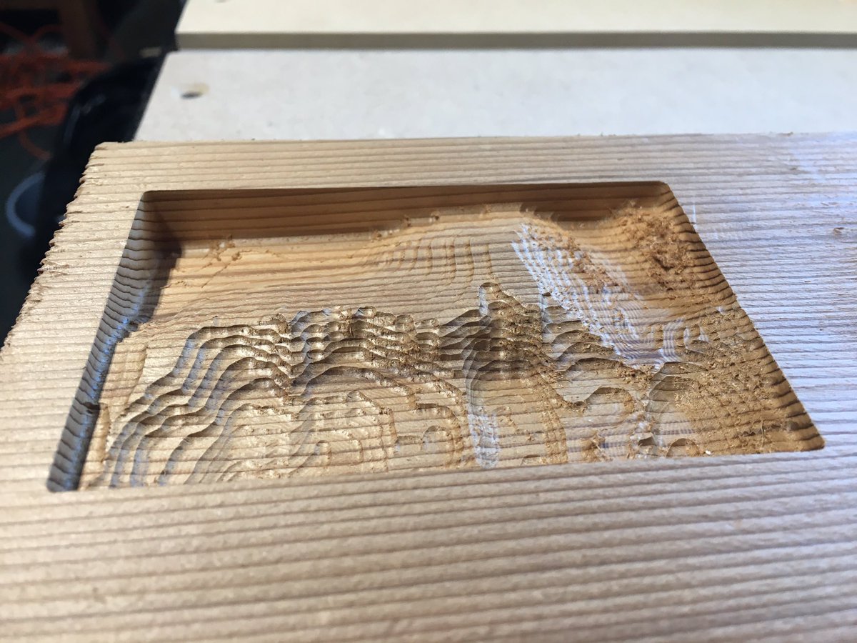
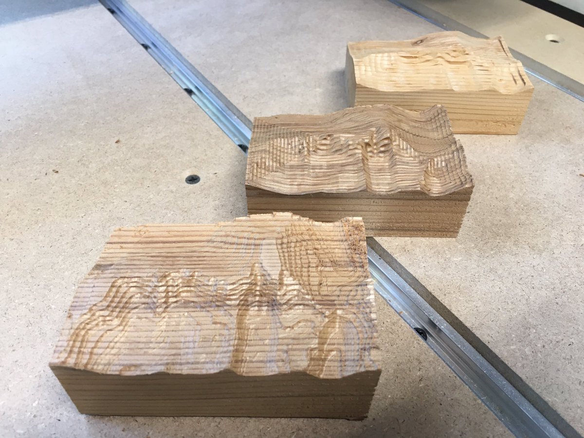
Another iteration, this time using Fusion 360 to rough out along contour lines (using pocket clearing). Much slower than my code, but looks a little nicer.
Greg Whitehead @grwster • 20200531220129000
First cut at marking the trails
Greg Whitehead @grwster • 20200609210422000
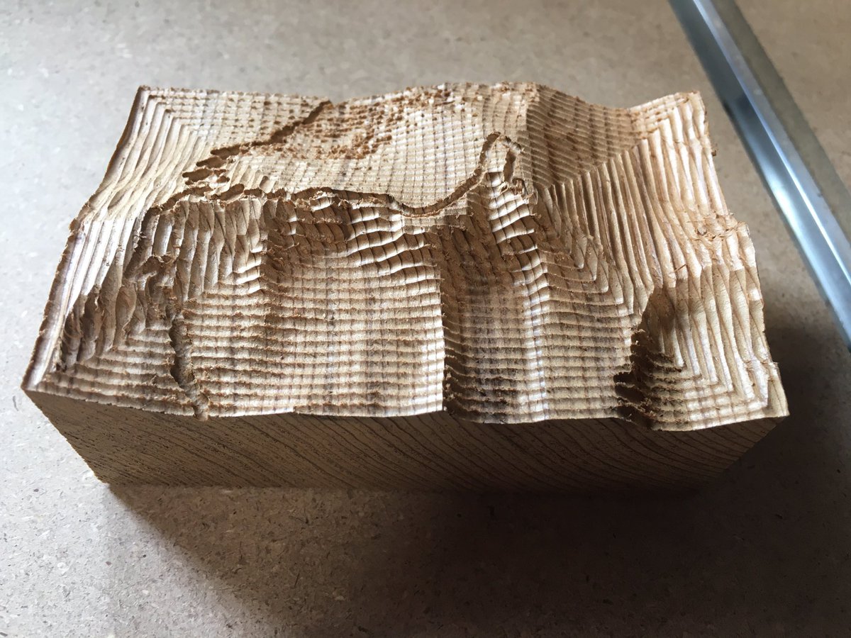
Highest resolution yet, using a 0.25in bit to rough out the shape and a 0.0625in bit to finish. Total cutting time about 2hrs. Ready to scale it up!
Greg Whitehead @grwster • 20200623001308000
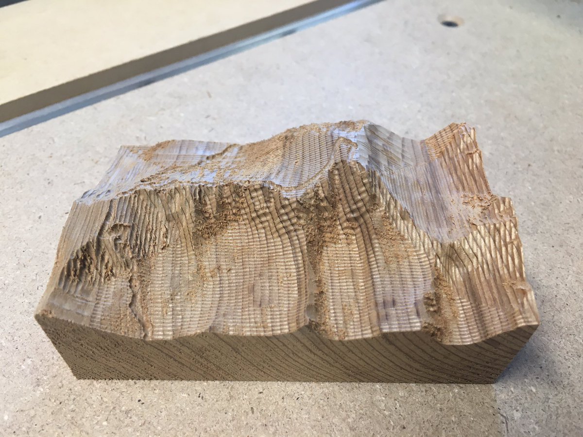
Scaling up requires finally tackling “feeds and speeds”. Spent some time on the theory and now I’m running experiments
Greg Whitehead @grwster • 20200818035014000
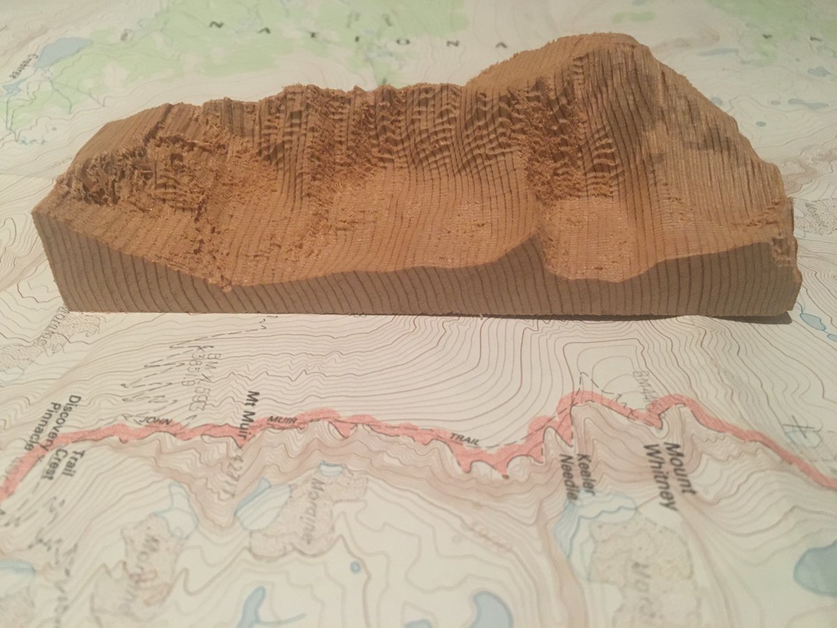
Mt Whitney at 1:24,000 scale, my biggest yet, same as the USGS 7.5 minute map series. I think this might be the version I cut in a nicer piece of wood and put on the mantle.
Greg Whitehead @grwster • 20200905020819000
Mt Whitney at 1:24,000 scale, cut from a glued up block of birch plywood. I love how the layers highlight the contour lines
